


By Jill Mulford
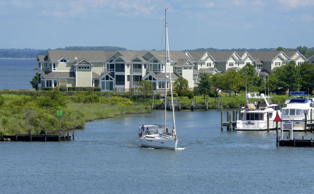
Geographically, Kent Island, our home, is situated midway up the Chesapeake Bay. It is the largest island in the Bay and is made up of the towns of Stevensville and Chester. When you cross the Bay Bridge from the west, Kent Island’s beautiful landscape, as a backdrop to the water, opens up before you from a height of 186 feet. You see trees, houses, beaches, freighters, fishing boats, sailboats, and motor boats from the conduit that connects Kent Island to the larger Metropolitan world. What a sight to come home to! Kent Island is bounded by the Chesapeake Bay, the Chester River, Eastern Bay, and Kent Narrows. With elevations ranging from 0 to 16 feet above sea level, it’s a waterman’s paradise.
Because of our location, Kent Island was the first settlement in Maryland and the third in Colonial America. When William Claiborne, an English surveyor, was finished surveying Jamestown, he set his sights on building a trading post further north and came upon Kent Island. He established a settlement, called Kent Fort, near the southern tip of Kent Island in 1631. Surrounded by a fence, his town housed a grist mill, a courthouse, and a trading post. He had bought the island from the Indians for axes, knives, and wool and it would be part of Virginia, perfectly situated for trade. He was Virginia’s Secretary of State after all. His hopes were dashed when the Calvert Family received a charter from the King of England, making all land north of the Potomac part of Maryland. Not without a fight, Claiborne had to give up his plans of a vast marketing empire. Artifacts remain but the settlement is gone, presumably underwater. The only marking is this stone at a remote intersection of Route 8. It’s an adventure to try and find it.
With its rich history and unique geography, Kent Island’s tourist opportunities are abundant and there for us to enjoy. Though we are not tourists, our island provides activities for every interest. If you doubt me, visit the Chesapeake Bay Heritage Center on Piney Narrows Road for all the information you need to start exploring your own neighborhood. If your interest is history, Stevensville’s buildings on the National Register of Historic Places are open the first Saturday of the month for free tours. Visit Historic QAC to find out more. Do you love to ride your bicycle? Kent Island has 28 miles of trails! Love boating, fishing, swimming? We have it all.
Fishing charters, boat rentals, kayaking adventures, paddleboard instruction and more. Though many of our communities have their own beach areas, you can also swim for free in the Bay at Terrapin Park, Matapeake Beach, and Ferry Point. I was amazed on my visit to Matapeake to find a pretty indoor Clubhouse serving breakfast and lunch with both indoor and outdoor seating. Straight ahead you see the people beach where kids and parents cool off. A longer walk through the woods takes you to the pet beach. And if you forgot your paperback before lounging for the day, the high school English Honor Society will give you one of theirs in a box near the Clubhouse.