By Susan Buckingham
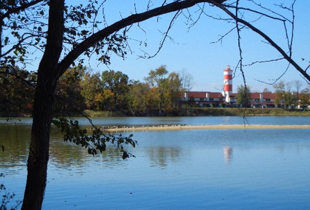
Queens Landing’s fabulous location on the Chester River is the reason many of us live here. We are lucky to have boating, kayaking, paddling, fishing, swimming, jet skiing, and other recreation just outside our doors. We love the Chester River as a wonderful natural resource, but how clean is the water running through it? The answer is quite complicated since it involves a variety of sources of pollution and many types of natural and man-made environmental problems. Many organizations like Shore Rivers, Chesapeake Bay Foundation, Maryland Departments of the Environment and Natural Resources, and National Oceanic and Atmospheric Administration work towards monitoring and improving water quality in the Chesapeake Bay and its many tributary watersheds. Shore Rivers enlists dozens of volunteer “citizen scientists” called Chester Testers to sample, test, and record water quality indicators in the many creeks and streams of the Chester River Watershed. NOAA maintains sophisticated buoys throughout the bay to record climate and water quality – buoys nearest to QL are offshore at Annapolis and the mouth of the Patapsco River. Because of our proximity to the bay, it is important to look not only at the Chester River Watershed data but also at the health of the bay when considering the quality of water at Queens Landing. The data for 2018 show the Chesapeake Bay in the C/D range while the data for the lower Chester River more in the C/B range. Although the data represent steady improvement over time, the goal of swimmable rivers and bay is not yet consistently met.
Considering all the different organizations monitoring and reporting results on various substances in the water, it seems reasonable to use caution when coming into physical contact with the river here at Queens Landing. Heavy rains and winds can significantly lower the water quality through storm run-off and dislodging debris and silt from the river bottom and shorelines. Here are guidelines many organizations use to determine if a river or bay is safe for swimming.
1. Check Swim Guide for current information.
2. Do not swim within 48 hours of a major storm event. A major storm event is any storm that creates runoff, which provides a vehicle for bacteria to be transported from our land to our rivers.
3. Do not swim if you have open wounds, scratches, skin lesions, an ear infection, or a comprised immune system.
4. Do not swallow river water.
5. Always shower or rinse off after swimming in open water.
6. When in doubt, stay out. Never swim in cloudy or murky water, or if the water has an odd smell or appearance described as being more green or more brown than usual. Avoid areas where oil slicks, fish kills, or ‘scum’ is visible in the water.
So, if the water quality can be low, what about eating the fish and other creatures who live there? Thankfully, the Maryland Department of Natural Resources researches this and puts out an annual chart indicating how much of each type of bay treat is safe to eat. The good news there is that most critters from the bay and river are safe to eat in moderation. Check out the MDE.
There are lots of ways to help improve the quality of water in the river and the bay.
Here are a few links to some of the many nearby organizations who welcome volunteers:
www.kentislandbeachcleanups.com/